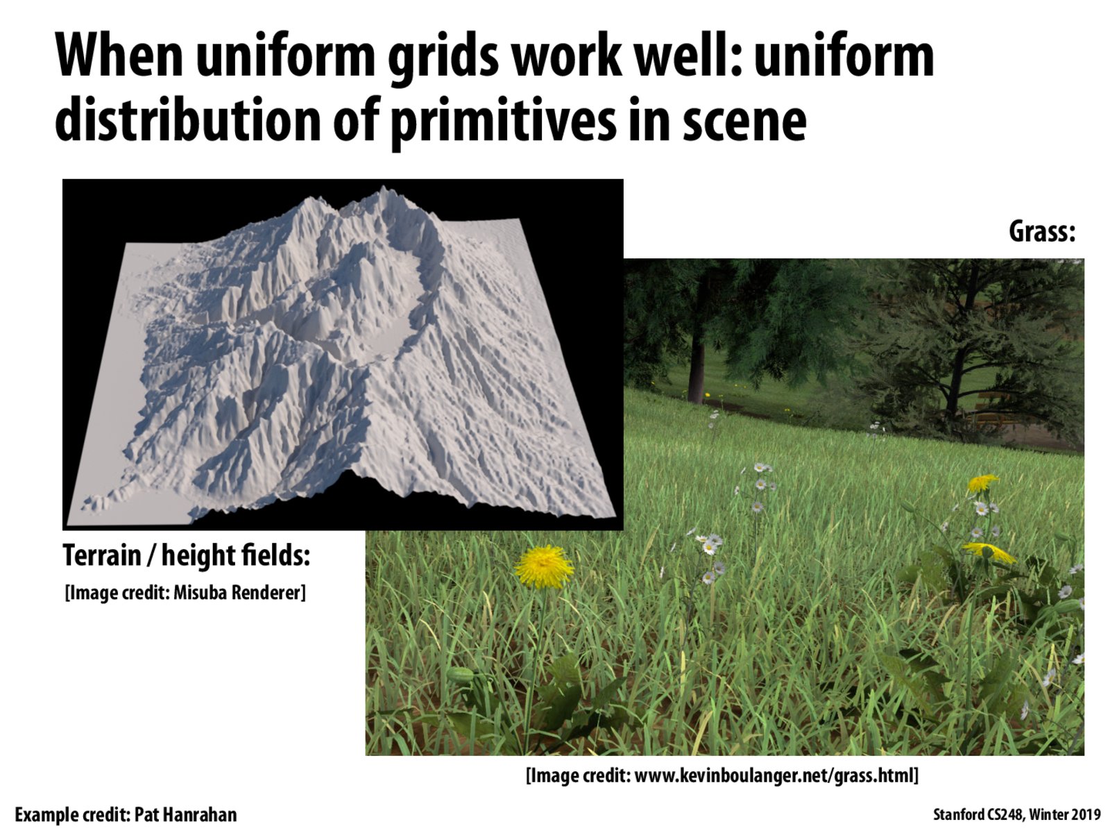
How are height maps like this usually implemented?
I would imagine it's a point-cloud that is triangulated and then DVH'd.
Check out the terrain renderer: https://blogs.igalia.com/itoral/2016/10/13/opengl-terrain-renderer-rendering-the-terrain-mesh/
How are height maps like this usually implemented?
I would imagine it's a point-cloud that is triangulated and then DVH'd.
Check out the terrain renderer: https://blogs.igalia.com/itoral/2016/10/13/opengl-terrain-renderer-rendering-the-terrain-mesh/